東和機電工業
Towa Kiden Industry
— Works
西日本を中心に広がる
納品実績
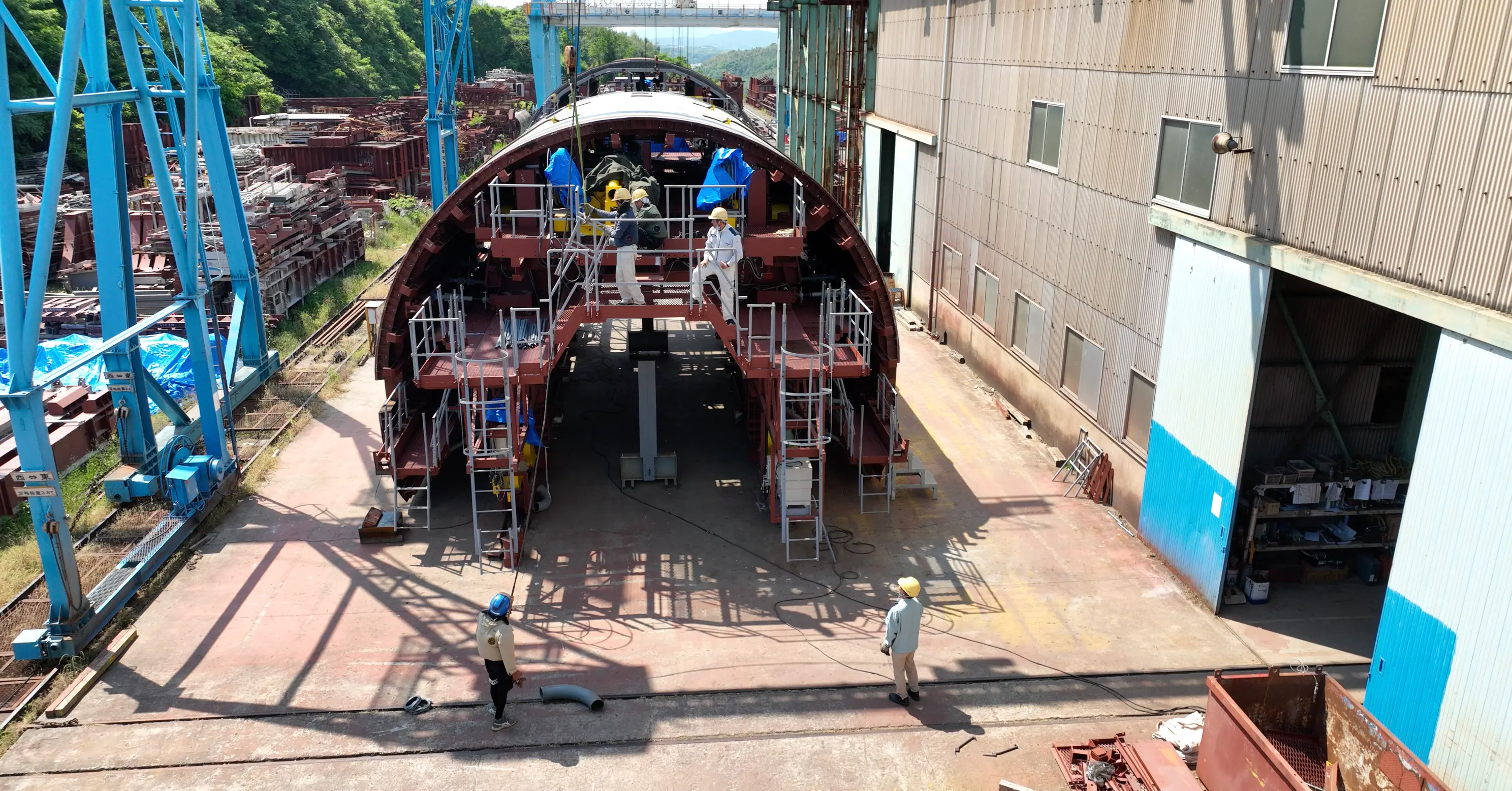
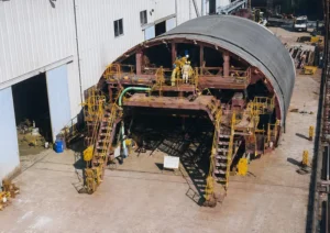
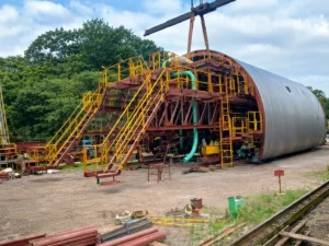
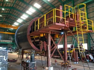
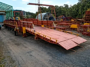
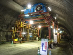
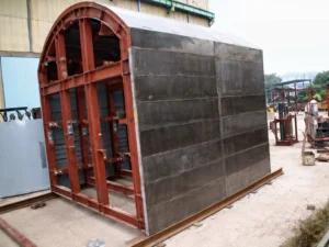
当社の覆工型枠は、西日本を中心とした数多くの工事で採用されています。製品の提供から現地での技術サポートまで一貫して対応しています。
地図出典:国土地理院(淡色地図)。主な施工エリアの円を重ねて表示しています。
Shoreline data is derived from: United States. National Imagery and Mapping Agency. "Vector Map Level 0 (VMAP0)." Bethesda, MD: Denver, CO: The Agency; USGS Information Services, 1997.